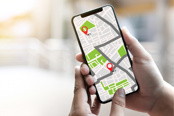
The Best Apps to View Cities via Satellite
Apps to View Cities via Satellite have become essential tools in daily life. Whether for planning trips, locating addresses, or simply exploring the world virtually, these apps offer a unique and detailed perspective of any place on the planet.
In this article, you will find comprehensive information about the best apps available, their features, and how to use them to make the most of their resources.
What are apps to view cities via satellite?
Satellite-viewing apps use images captured by satellites and drones to provide precise and detailed views of the Earth’s surface.
With them, you can observe streets, avenues, buildings, natural landscapes, and even specific details of urban areas.
Some apps even allow users to view locations in real time or during different times of the year, showcasing changes over time.
Why use apps to view cities via satellite?
These apps are more than just interactive maps. They offer benefits such as:
- Travel planning: Check routes and explore tourist attractions before even arriving at your destination.
- Safety: Observe areas before visiting to avoid potentially dangerous locations.
- Academic or professional research: Access detailed images for geographic, environmental, or urban studies.
- Exploration and curiosity: Discover new places around the world without leaving home.
The best apps to view cities via satellite
Google Earth
Google Earth is one of the most well-known and widely used satellite-viewing apps. It offers detailed images of almost every place in the world, with the possibility of navigating in 3D. Additionally, it allows you to explore Earth, the sky, the moon, and even Mars.
Key features:
- 3D visualization of cities and landscapes.
- Historical satellite imagery to track changes over time.
- Interactive tours to explore famous locations.
Google Maps
Although primarily known as a navigation app, Google Maps also offers a satellite view option. Its integration with Street View provides an even more immersive experience.
Key features:
- Detailed views of streets and cities.
- Real-time traffic information.
- Integration with public transport routes.
NASA Worldview
This NASA app provides near-real-time satellite images, allowing users to monitor climate changes, wildfires, and other natural events.
Key features:
- Frequent updates of images.
- Focus on environmental and climate data.
- Advanced tools for professionals and academics.
Bing Maps
Microsoft’s Bing Maps is another excellent option. It combines high-quality satellite images with interactive maps, providing a smooth navigation experience.
Key features:
- Detailed maps with satellite imagery.
- Information about points of interest.
- Route planning for public transport, cars, or walking.
Here WeGo
Focused on navigation, Here WeGo also offers satellite imagery that allows you to explore cities worldwide. It is an excellent choice for those looking for a free and intuitive app.
Key features:
- Offline mode for use without an internet connection.
- Satellite and topographic map views.
- Detailed route planning.
How to choose the best app for your needs?
Choosing the ideal app depends on how you intend to use it. Here are some tips:
- For academic or professional purposes: Opt for apps like NASA Worldview or Google Earth, which offer more advanced data.
- For navigation and travel: Google Maps and Here WeGo are great options due to their integration with transport routes.
- For general exploration: Google Earth stands out for its level of detail and 3D exploration capabilities.
Tips for making the most of apps to view cities via satellite
- Explore settings: Many apps have advanced tools that can be activated in the settings. These include distance measurements, area marking, and even 3D simulations.
- Use alongside other tools: Combine apps to get more complete information. For example, use Google Earth for exploration and Google Maps for navigation.
- Check for updates: Satellite images may vary in quality and timeliness. Always choose apps with frequent updates.
- Test different viewing modes: Many apps offer various modes, such as aerial view, 3D view, and even street view.
The future of apps to view cities via satellite
With technological advances, apps to view cities via satellite are becoming increasingly accurate and accessible.
Innovations such as artificial intelligence and augmented reality promise to transform the way we interact with these tools. In the future, it will be possible not only to view cities but also to simulate urban and environmental changes in real time.
Satellite-viewing apps are indispensable in a connected world, offering a practical and detailed way to explore and understand the planet.
Whether for planning trips, studying environmental changes, or simply satisfying curiosity, these tools provide a unique experience. Try the recommended options and discover the world from a completely new perspective.